
Climate & Emissions·Jul 2025
Geospatial Intelligence for Climate and Emissions Monitoring
Explore how satellite data, remote sensing, and AI detect greenhouse gas emissions, monitor environmental change, and support climate action globally.
Track shoreline changes, monitor coastal erosion rates, and assess marine environmental impact with multi-temporal satellite analysis. Protect coastal infrastructure and communities with data-driven insights.
Explore how satellite data, remote sensing, and AI detect greenhouse gas emissions, monitor environmental change, and support climate action globally.
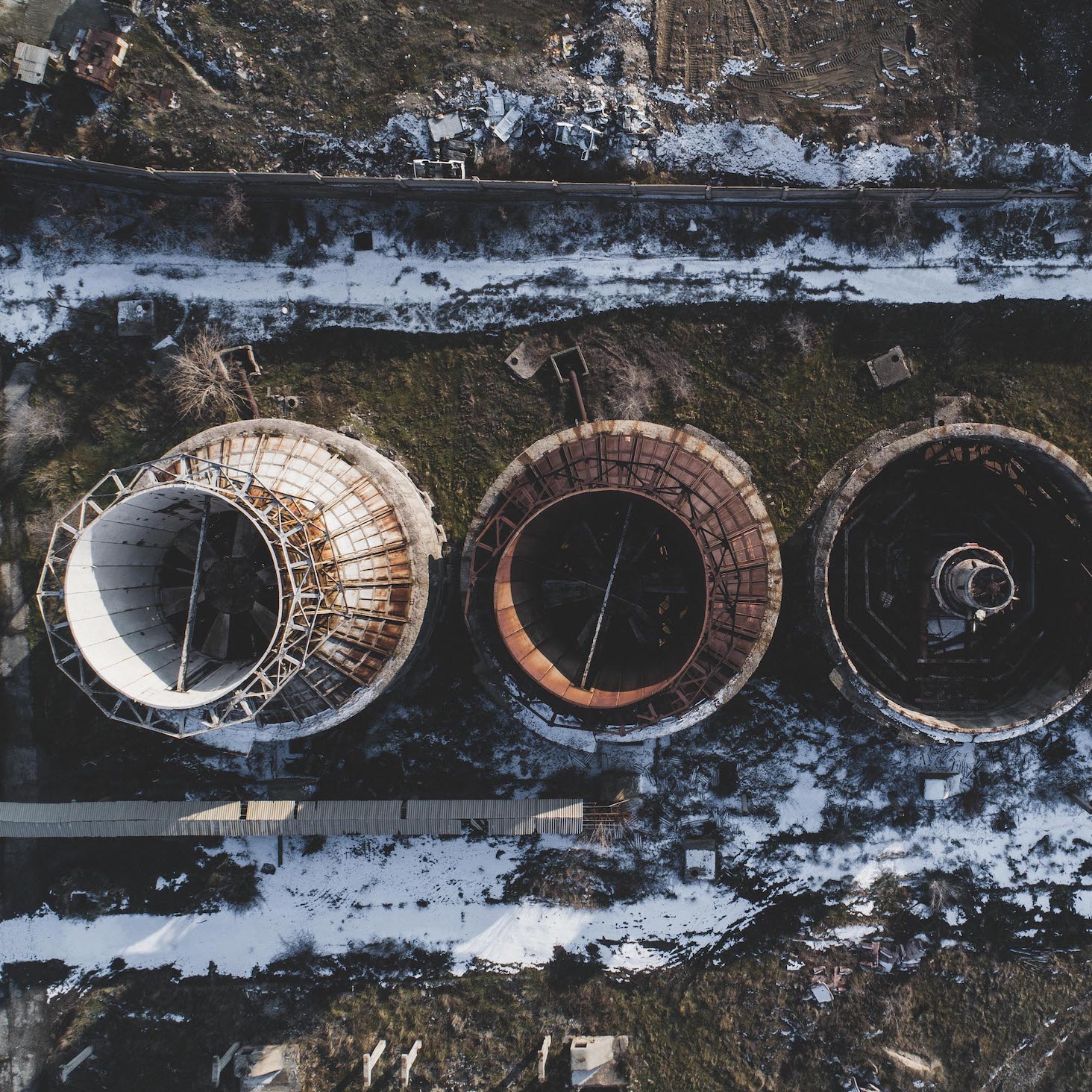
Discover how satellite data, remote sensing, and AI detect early signs of infrastructure risk in roads, bridges, pipelines, and construction sites.
Explore all satellite intelligence use cases
View All Use Cases →